Charlie Loyd @vruba@everything.happens.horse
- charlie@planet.parts
- work
- geographical pixels
- where
- Xučyun/Oakland, Ohlone land, western Laurentian accretions
- who
- him
You know him on the internet. Eucalypt-adjacent; very occasional writer. Consulting and passively looking for work in geospatial, image processing, and related fields.
Joined Apr 2022
I say objectively overkill because Euler was computationally faster, even though it took a few more steps.
Also, there’s a really wide range of h parameters that are tied for optimality. Taken together, this makes me think that it’s the lumpiness of the topography that’s the main limit here. But I’m in way over my head mathematically, so I could easily be misimplementing or misinterpreting.
Anyway, this is easily the silliest thing I’ve ever done with ground control points.
Various fixes. It now uses fourth-order Runge–Kutta integration to place the labels, which is objectively overkill and also I probably put many bugs in it, but I had fun and that’s the important thing.
@bil Reminded of this instant classic: https://m.youtube.com/watch?v=kkfIXUjkYqE
Forgot to add the warning: this is intended for, and only tested on, desktop browsers.
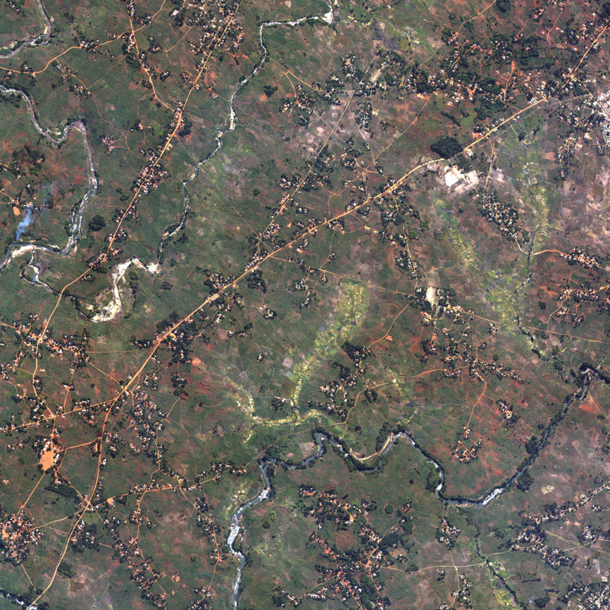
Weekend project (do not look at the source): https://sat9.land/x/swath/#0,25500
@allafarce Treatment is simple. Great civic tech thinker Dave Guarino is on fediverse tonight. Go and discuss with him.
@brennen My only advice (and I could be wrong; I’m really not a JS person) is to lean heavily on MDN.
@fonts I hope you like arguments about gamut mapping.
As a non-JS person who wrote a moderate amount of JS a long time ago and a little JS in the last few days, it feels like it’s been kintsugi-ed. It can never be so completely fixed that you won’t see how it was broken, but it can certainly become an open meditation on the nature of repair.
@shashashasha Also science communication :/
I think this is important work done well, but I will complain about the headline: it’s really hard to define “visible from space” in a way that makes sense and matches what any two people think it means. Stop using it this way. https://www.npr.org/2023/10/06/1203372829/the-bruising-artillery-battle-in-ukraine-has-left-a-scar-that-is-visible-from-sp
I am very internet-oriented and generally think it’s good when things are available digitally, but the idea that someone has to use expensive hardware, proprietary software, etc., to receive the official time signal is sad.
Trying to get all the household’s clocks and watches synced to the CBC/NRC time signal was an extremely entertaining project in like 1996.
Over-the-air civil broadcasts that require only amateur radio knowledge to decode from scratch seem worth keeping alive. I hope that tide comes back in one day.
@juhele @tsturm@toot.site @midendian I assumed you used https://www.praguemorning.cz/things-to-know-the-prague-meridian-r3zspdqmkv/
@djh @kgjenkins It keeps trying to compound them into dieses1wort.
@kgjenkins This approach has much to recommend it. You could also save space by adding them.
@sgillies I always confuse it with latigator.
At its core, doing anything with geodetics is basically (1) very straightforward math that you can derive in your head from the Wikipedia illustration of trigonometric functions, plus (2) several hours of figuring out what φ means in this case and which definition of “up” the author is assuming.
Lest anyone think I’m making up the Greek letters.
And to be fair, sometimes you also see λ. That’s great because λ is equivalent to l, so it stands for the one of longitude and latitude that starts with l.

- charlie@planet.parts
- work
- geographical pixels
- where
- Xučyun/Oakland, Ohlone land, western Laurentian accretions
- who
- him
You know him on the internet. Eucalypt-adjacent; very occasional writer. Consulting and passively looking for work in geospatial, image processing, and related fields.
Joined Apr 2022